City · museum
Maykop and the National Museum
Use the National Museum's archaeology, ethnography and art collections as an introduction to Adyghe culture, allowing half or a full day before nature excursions.
CAUCASUS ATLAS · 2026
A sourced four-day Adygea guide to Maykop, Khadzhokh Gorge, Rufabgo Falls, the Lago-Naki plateau, Azish Cave and Guzeripl.
Last checked: 26 August 2026Photograph: RusRec13 · CC BY-SA 3.001 · Quick answer
Adygea is not a country but a republic within the Russian Federation. It belongs in a geographic north-west Caucasus selection but not in the North Caucasian Federal District. A first route can split time between Maykop and the Kamennomostsky–Lago-Naki–Guzeripl corridor.
02 · Geography and status
Protected-area boundaries, permits, snow and avalanche conditions matter around Lago-Naki. Do not assume that the UNESCO Western Caucasus property and the entire tourist plateau have identical boundaries.
03 · MAP
The OpenStreetMap base supports orientation; it does not guarantee administrative boundaries, open roads or permission to pass.
Open map ↗04 · ROUTE ATLAS
Review every stop individually and recheck sourced records on the day of travel.
City · museum
Use the National Museum's archaeology, ethnography and art collections as an introduction to Adyghe culture, allowing half or a full day before nature excursions.
Canyon · viewpoint
View the Belaya River's narrow rock passage from managed platforms and heed current-flow and slippery-surface warnings after rain.
Waterfalls · walk
Walk the waterfall sequence according to the chosen trail length, recognising that flow, footing and bridge conditions make the experience seasonal.
Plateau · protected nature
Do not treat a roadside viewpoint and a long protected-area hike as the same activity; verify route boundaries, permits, snow and turnaround time officially.
Cave
Visit through the managed tour and designated platforms, carrying a layer for cool, damp conditions even when the plateau is warm.
Reserve · forest
Plan the visitor centre, short eco-trails and surrounding forest as a slow day; do not confuse multi-day Fisht routes with casual day walks.
05 · Visual route
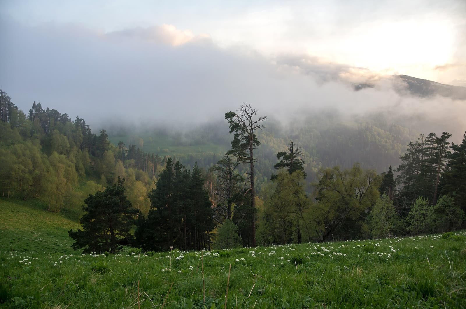
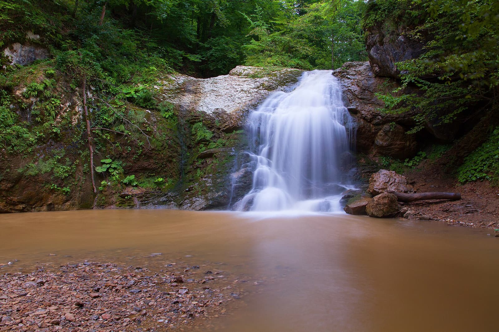
Begin day one in Maykop with the National Museum and an urban walk. On day two combine Khadzhokh Gorge with a selected length of the Rufabgo trail near Kamennomostsky. Use day three for Lago-Naki, limiting the plan to an officially open short route or viewpoint. Give day four to the Guzeripl visitor centre and easy nearby paths. Azish Cave can join the plateau day after confirming access and hours; do not crowd every nature stop into one day.
The Western Caucasus World Heritage property is a broad protected system, while 'Lago-Naki' is also used for a wider tourist plateau. Treating the boundaries as identical misleads visitors about permits and protection regimes. Check the official map to see whether a viewpoint, road or trail lies inside the reserve. World Heritage status does not mean unrestricted access. Stay on marked paths, do not collect plants and camp only where explicitly permitted.
Maykop's National Museum connects archaeological finds, traditional dress and crafts with the human history of the mountain landscape. Driving straight to nature sites reduces the region to waterfalls and caves. Read museum labels while avoiding language that confines living communities to the past. Ask permission before photographing people, private homes or cultural events in villages. Describe local food through daily life and seasonal produce rather than as an 'authentic performance'.
Heavy rain in the Belaya basin can quickly change river conditions, bridges and trail surfaces. Snow may remain on the plateau long after the city has warmed; a spring date does not prove hiking season has begun. Read reserve notices and the local forecast, and carry an offline map and rain layer. If a nature route closes, do not pass barriers; Maykop's museums or a lower-altitude town day make safer alternatives. Confirm cave and private-operator hours separately.
FAQ
A sourced four-day Adygea guide to Maykop, Khadzhokh Gorge, Rufabgo Falls, the Lago-Naki plateau, Azish Cave and Guzeripl.
No. It is a republic within the Russian Federation; its administrative centre is Maykop.
Geographically it lies in the north-west Caucasus, but administratively it belongs to the Southern rather than North Caucasian Federal District.
Four days work well for Maykop and the Kamennomostsky–Lago-Naki–Guzeripl corridor.
Maykop works year-round; late spring to early autumn is generally easier for plateau and waterfall walks when routes are open.
Last checked · 26 August 2026
Hours, prices, roads, entry conditions and weather can change. Before travelling, recheck each place with its official source and consult your own government's current travel advice.
Published: · Updated: