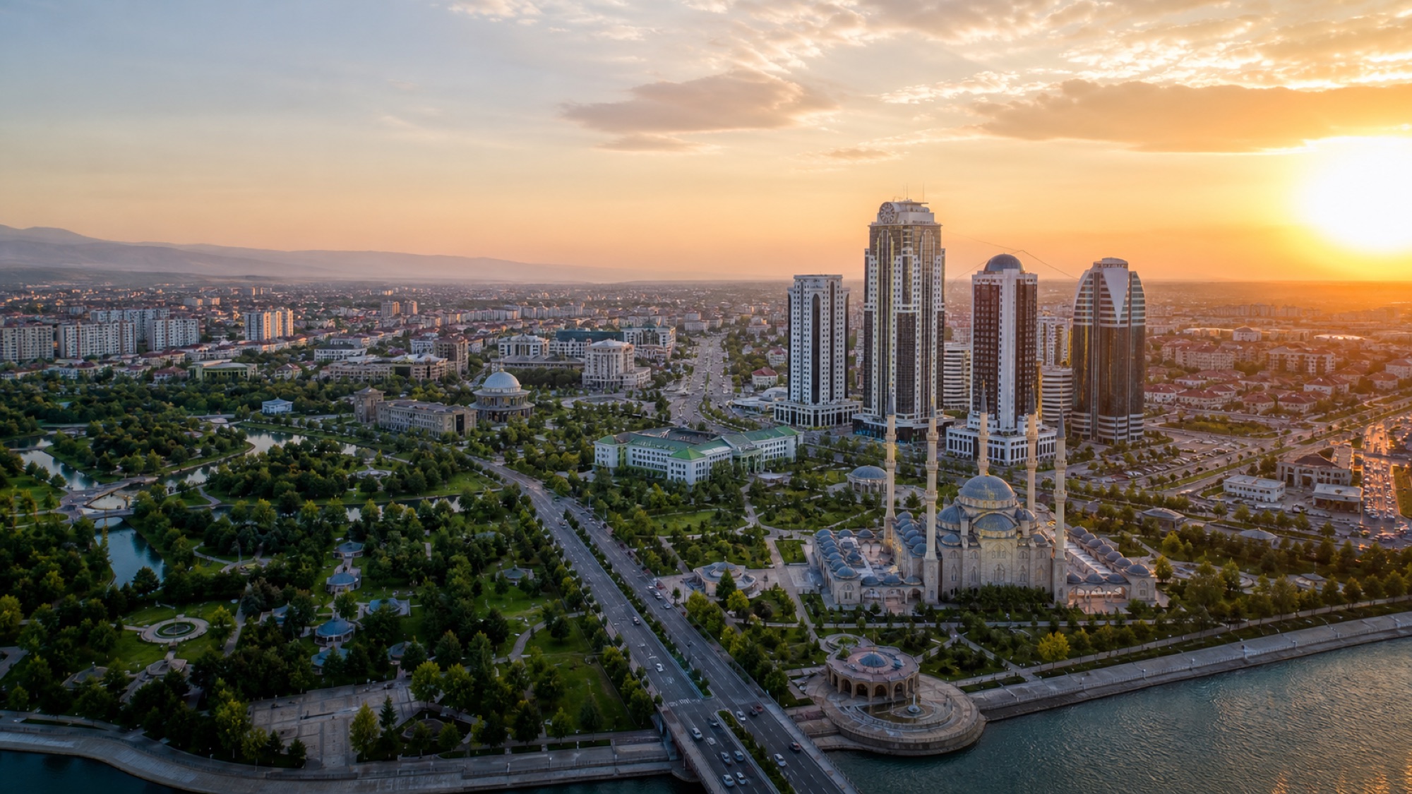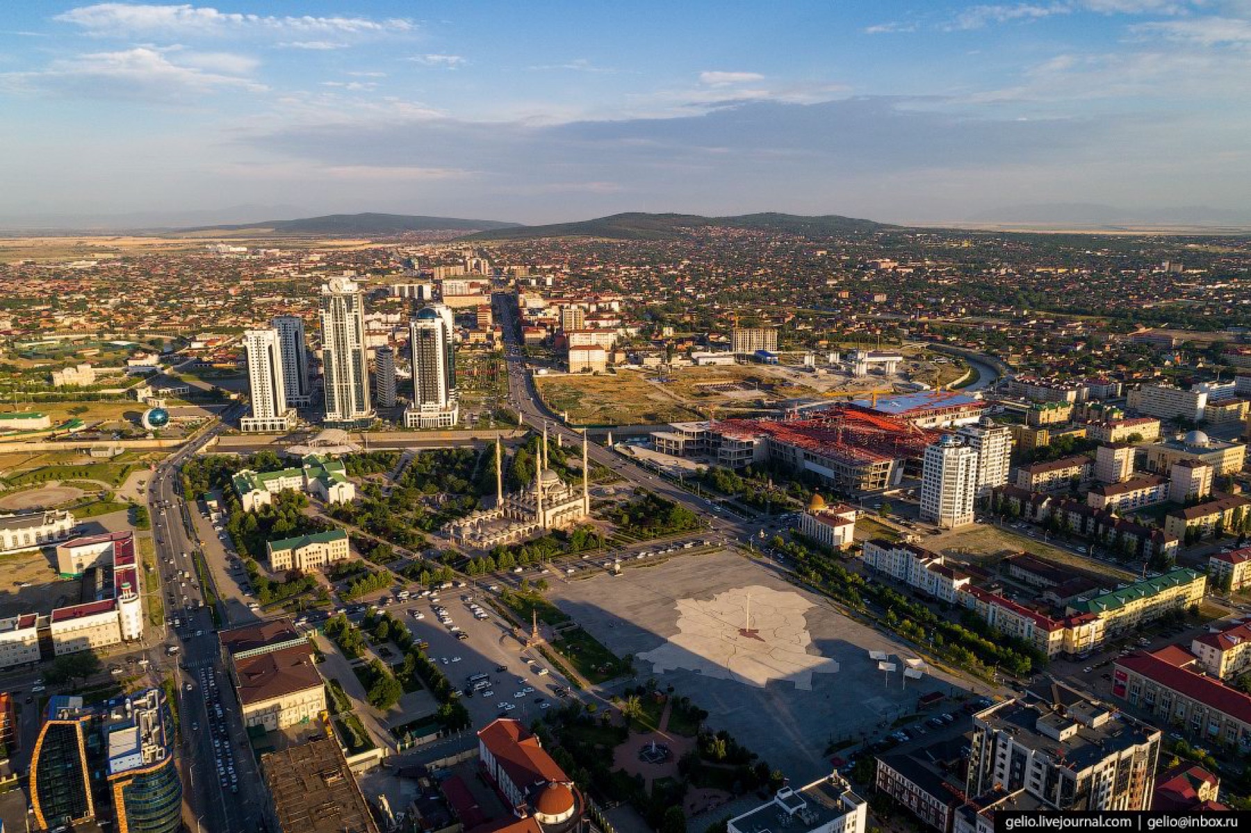
City cluster
Grozny, Argun and Shali form a short-distance cultural line of mosques, parks, museums, boulevards and modern architecture.
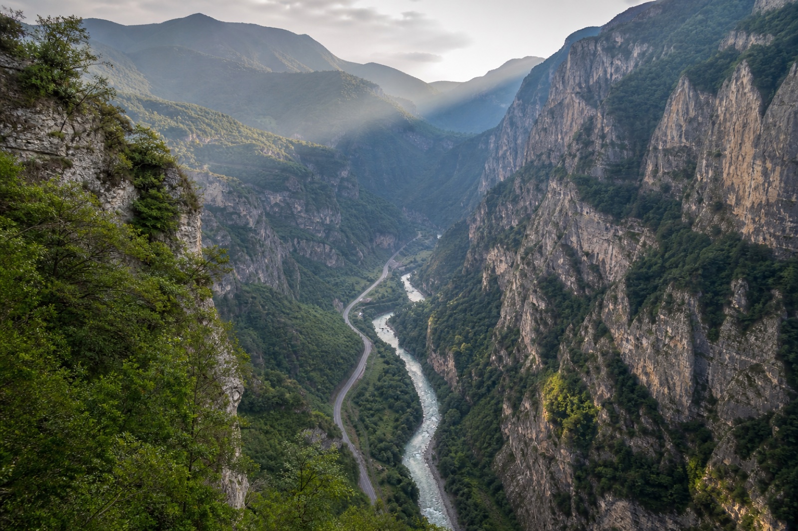
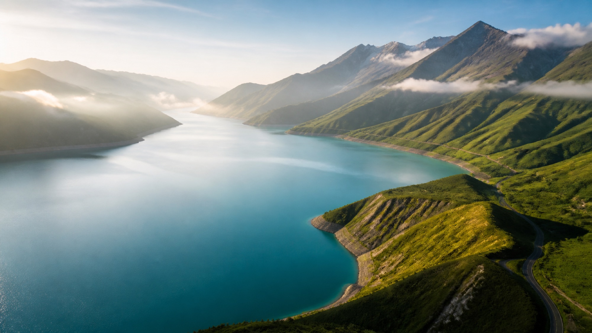
Highland corridors
Treat Kezenoy-Am–Khoy and Argun Gorge–Ushkaloy–Nikhaloy–Itum-Kali as separate planning axes and verify access rather than compressing them.
Do not read the map as a travel-time ruler
The map places Grozny, lowland towns and southern highland corridors on one surface, but straight-line distance is not driving time. Road class, altitude, bends, weather, checkpoints and seasonal work can change a route. A name or boundary on a historical map does not prove today's administrative position. Match the current place name and coordinates first, then use official road information and a local driver's confirmation; a screenshot is never permission to pass.
Record every place name in three forms
Recording a place only in Turkish spelling can create avoidable ambiguity in search and directions. Beside the Turkish form, keep the current Cyrillic spelling and the Latin transliteration you use, linking all three to the same coordinates. Where names sound similar, add the district or nearest principal settlement. When speaking with a hotel or driver, send the name as text rather than only a screenshot, so it can be searched in another map application. Do not replace a current sign with an old spelling from a historical source, but retain the older form with its date. Transliteration systems produce variants, so avoid declaring one form correct and all others wrong. This gazetteer helps navigation and archive work; it does not prove that a road is open or authorised. Verify name accuracy and route validity separately.