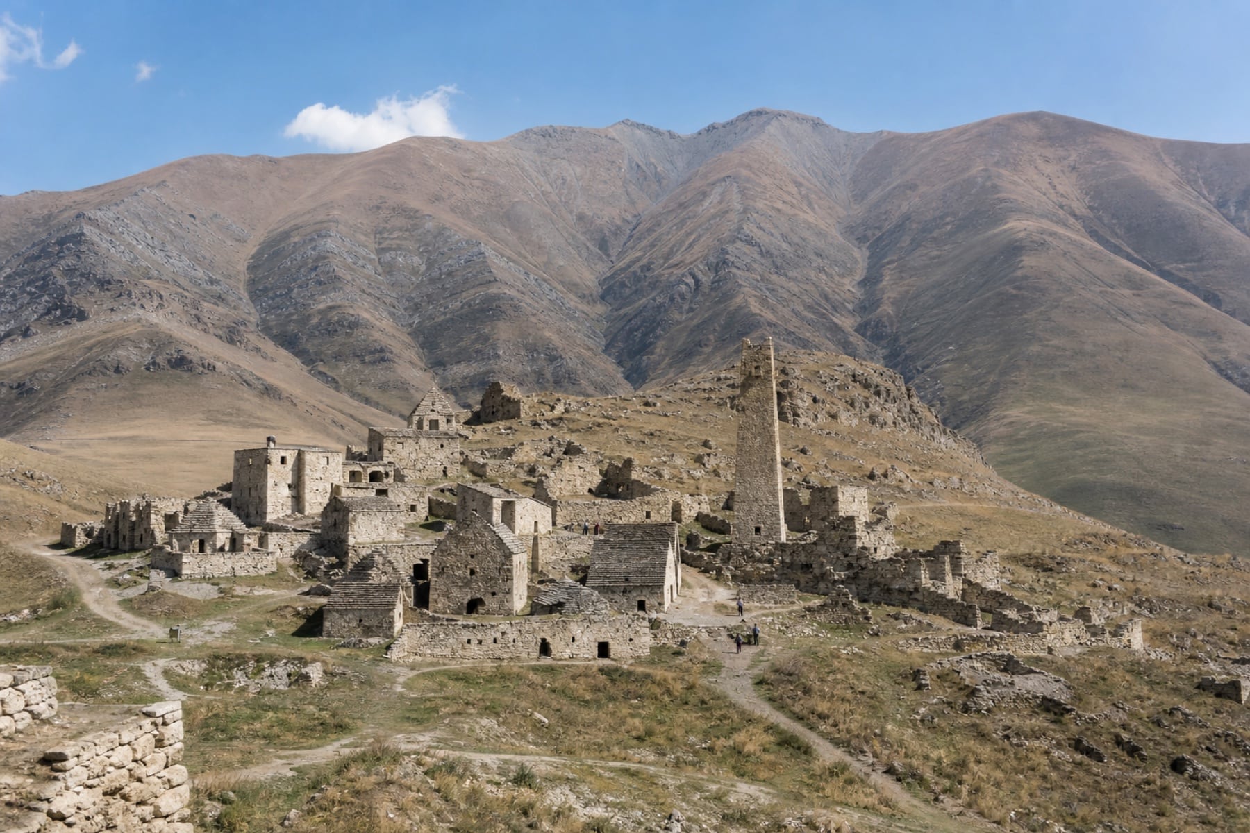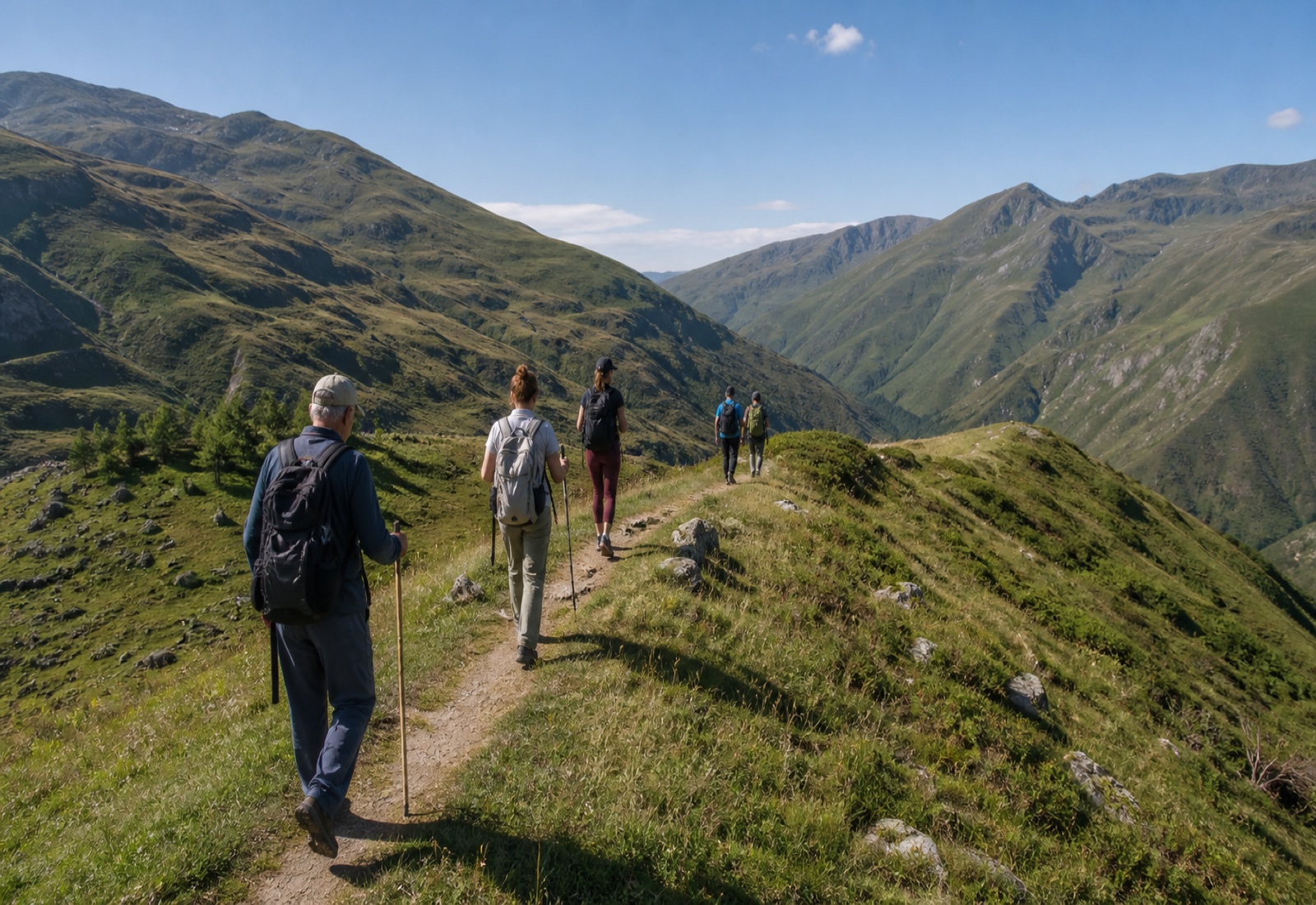
Planning the marked trails between Veduchi and Kezenoy-Am has become a little easier. The app announced by Caucasus.RF aims to keep essential route information available when reception fades in the mountains, although a phone should never be treated as a complete safety plan.
What does the app contain?
The official announcement lists trail length and difficulty alongside natural and historic stops, demanding sections, drinking-water sources, camps and nearby accommodation. A safety section carries emergency contacts, and service alerts are intended to remain available during offline use.
Before setting out
The release says 110 kilometres of equipped trail connect Veduchi and Kezenoy-Am; that figure is not a one-day walking recommendation. Weather, open sections, border-zone rules and the return plan should be checked with official sources on the day, with the offline map, suitable equipment and a local guide treated as complementary tools.